Wintringham
Client:
Urban & Civic
Area:
162 ha (400 acres)
Location:
Cambridgeshire
Type:
Residential Placemaking
2,800
new homes

6000+
trees planted in first phase

9
km of cycleway linking to rail & bus


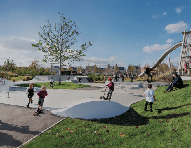
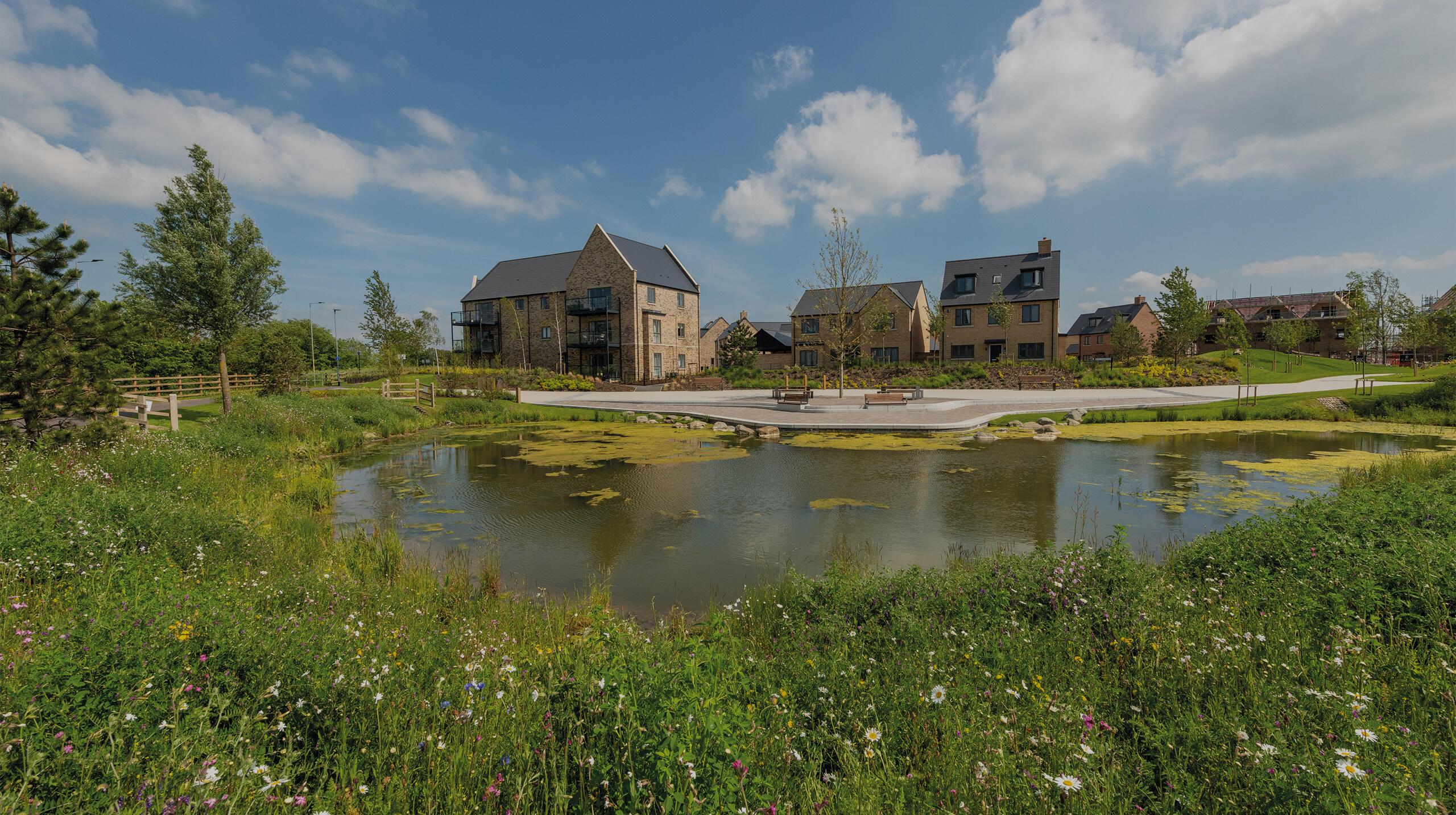
A connected and bustling community, where green-infrastructure underpins the concept of 'placemaking' to shape the design and masterplan.
Wintringham forms part of a strategic extension to the east of St. Neots, Cambridgeshire with nearby links to the A1 (M), A428 and East Coast mainline rail connections.
BMD has been an integral part of the consultant team since Urban&Civic formed part of the Wintringham Partnership in 2017 - through planning consent, into delivery of the first new homes and phases 1 and 2.
Our team has helped realise ambitions to increase net biodiversity by creating an ambitious strategy at Wintringham, where a diverse ecosystem ensures a place where people and nature can live together in harmony.
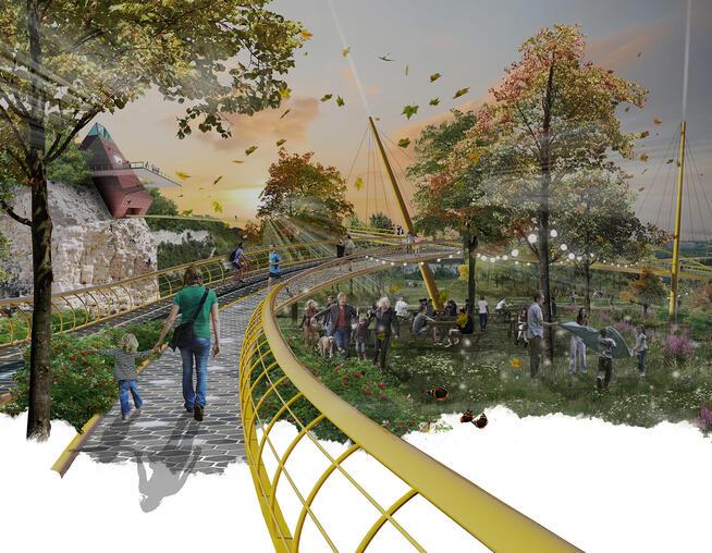
Image caption: Vision for Wintringham. © BMD

Biodiversity

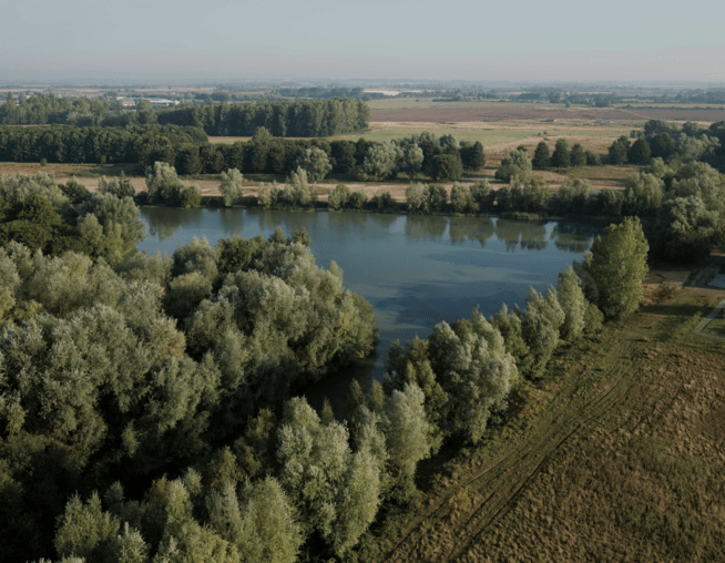
The existing landscape at Wintringham provided a strong foundation for creating a high-quality biodiversity network through the development.
The location boasts two brooks including Hen Brook and Wintringham Brook, as well as a variety of new hydrological features including wet and dry swales, native hedgerow and trees.
Along with newly designed woodland and grassland habitats, these unique features create a diverse and thriving ecosystem supporting a wealth of plant and animal species.
Developing this rich and varied landscape creates an environment that is not only beautiful and accessible, but that also supports and enhances local ecology.
Image caption: Pond dipping with Mike Dilger. © U&C

Heritage

Wintringham has a rich and varied history.
Desk-based assessments, field evaluations, and various surveys have helped identify areas of previous habitation at Wintringham dating back to the Neolithic period to the early 5th century.
Early findings have revealed evidence of Iron Age roundhouses dating back to 400-100 BC, enclosures, tracks, wells, pits, post-holes, and ridge and furrow earthworks.
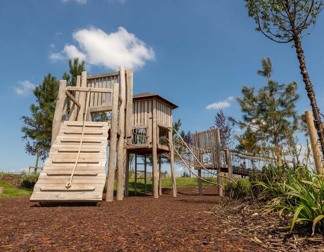
These discoveries provide a fascinating glimpse into the early history of the site and the lives of those who inhabited it. These findings have in tern inspired the creation of play areas, interpretation and wayfinding to enhance the network of green spaces for the local community.
Image caption: Model of Iron Age roundhouses. © BMD

Wayfinding

To support the establishing community at Wintringham, BMD were appointed by Urban&Civic to develop an engaging wayfinding strategy, with detailed designs for the wayfinding board structures, graphics and interpretive information.
With an array of historical and ecological subject matter, we created trails and active leisure routes with wayfinding at key nodes and destinations to propose health and wellbeing for residents and the public.
We have been pivotal in the creation and delivery of the first wayfinding and interpretation boards through phase 1 and 2.
Image caption: Wayfinding post. © BMD