Thornhill Park
Client:
Shaviram
Area:
3.5 ha (8.6 acres)
Location:
Oxfordshire
Type:
Residential Placemaking
400
new homes

2.1
acres of public open space

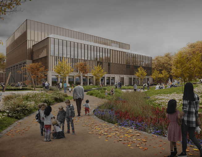
new
innovation centre, cafe, gym & hotel


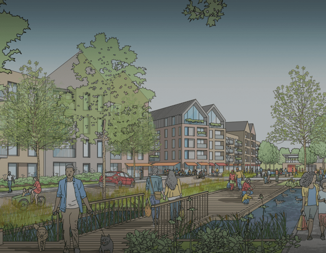
A mixed-use development underpinned by a landscape led approach, where the inherited green infrastructure assets are used to craft a new and special place with a distinctive character and strong community focus.
Located on the A40 gateway to Oxford, the proposed development creates a new neighbourhood to Risinghurst and Sandhills.
BMD worked closely with JTP and the Lockhart Garratt arboricultural team to create a design that seeks to draw the best from site features, landscape character and local context whilst integrating into these surroundings through an assessment-based approach.
The overall masterplan and landscape proposals respond positively to issues of ecology, access, water management and parkland sensitivities, creating a unique and multi-functional landscape.
Image caption: Illustrative masterplan. © BMD

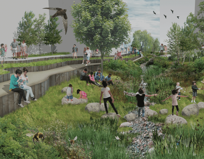
Biodiversity

The biodiversity strategy at Thornhill Park starts with the retention of existing green infrastructure and builds on this resource to provide a varied and rich landscape for biodiversity net gain.
A mixed palette of trees is specified to complement the species already present on the site and embellish the parkland character that has already been well established and 'Shallow dig' or 'No dig' solutions will be incorporated where there is risk to the Root Protection Area's of existing trees.
Green roofs, SuDS, productive landscapes, gardens and public amenity planting all provide opportunity for biodiversity enhancement through increased habitat types.
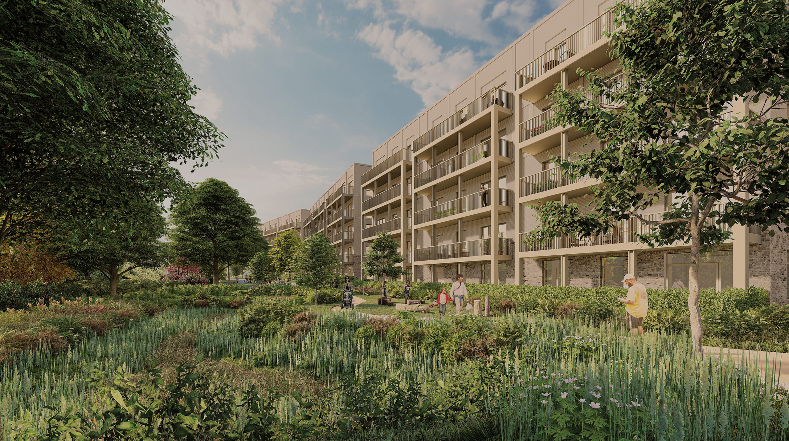
Image caption: CGI of the Woodland Walk. © JTP

Sustainable Urban Drainage

The SuDs strategy for Thornhill Park is based on the existing site features and landform to maximise effect.
Existing ditches will be utilised for attenuation and bio-retention and incorporated with proposed rain gardens, biodiverse roofs and amenity roofs.
Permeable paving will be a feature running through the site and connected tree pits will increase soil volume for tree root expansion and aid surface water runoff detention.
Image caption: SuDS detail. © BMD

LVIA

BMD undertook a standalone LVIA to support the planning application for the proposed development.
This included in-depth desktop analysis of adopted and emerging and planning policy, local and regional landscape character areas, as well as liaison with Oxford City Council to agree viewpoint locations.
This was then followed up by extensive testing of views in the field, from a number of nearby sensitive locations, including within Forest Hill Conservation Area and Shotover Park and Gardens (Grade I Listed).
BMD also co-ordinated the production of a series of verified views to support the LVIA. In total, 12 verified views were created, using a combination of wirelines and full renders, which helped to convey the massing, materiality of built form and landscape proposals for the site.
Image caption: Viewpoint location plan. © BMD